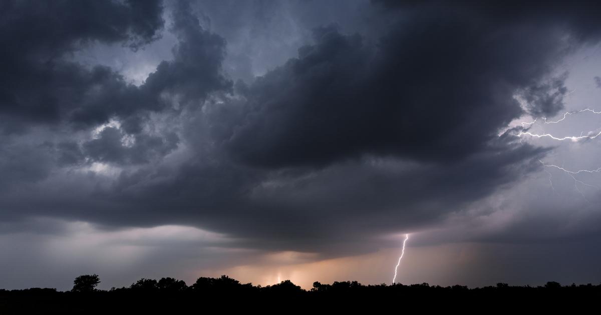
Weather Forecast in France: Stormy Showers and Temperature Clashes Expected
This Thursday, June 6, the center-west of France is bracing for cloudy skies interspersed with stormy showers from morning. The region north of the Seine will experience cooler weather, while the afternoon is expected to become muggier, especially near the Massif Central, where thunderstorms are likely to develop, according to La Chaîne Météo. The morning will bring a mix of clouds and clearings in the north, with a risk of white frost in rural areas. In contrast, the south will experience milder conditions, despite some cloudy intervals and maritime influences along the Mediterranean coast.
Afternoon conditions will see frequent cloudy periods north of the Loire, whereas the sky over the south remains slightly veiled with clouds gathering over the Massif Central. By evening, skies will clear again in the north, while the south may witness a few storms in the center-east. The subsequent trend indicates an increasing likelihood of stormy weather in the south by the week's end. The north, however, will continue to be dry and sunny, albeit cool for the season, particularly during morning hours.
Temperature Clashes Driving Storm Activity
France finds itself amid a conflict between two significant air masses this week, one warm and one cooler. This clash is highlighted by substantial temperature disparities between the north and south, sometimes exceeding ten degrees. This temperature conflict is creating a conducive environment for storm formation. From Thursday to Sunday, regions stretching from the South-West to the North-East, which lie between the hot and cold air masses, will face repeated storm cells, with the most intense activity expected on Friday and Saturday.
Impacts and Alerts
Météo France has already placed 18 departments, from Gironde to the Alps, on yellow alert due to impending storms. The meteorological organization forecasts 'potentially strong activity' over the weekend, with Sunday’s storm activity likely concentrated in the South-East. The Weather Channel warns of persistent storm systems that may lead to significant rain accumulations, potentially causing river flooding and posing particular challenges in mountainous areas. Keraunos, the French observatory for tornadoes and violent storms, is monitoring the Massif Central and its surroundings for the strongest storms on Thursday and Friday. On Saturday, areas such as Aquitaine, Occitanie, and the Toulouse-Lyon axis are expected to experience severe weather conditions with not very mobile but intense storms.
- Keraunos highlights that the exact locations of these intense storms are still not clearly defined, emphasizing the unpredictable nature of the weather system. Nevertheless, French authorities remain vigilant, urging residents in high-risk areas to stay informed and prepared for possible disruptions.
- As the weekend approaches, locals and visitors in the south and central parts of France are advised to take caution with potential flash floods and hazardous weather conditions. The combination of heavy rain, thunderstorms, and changing weather patterns underscores the importance of monitoring weather updates and heeding advisories from meteorological agencies.


