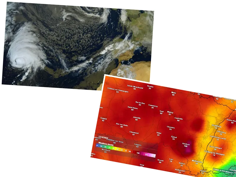
Storm Kirk Hits France: What You Need to Know
On Wednesday, October 9, 2024, Storm Kirk is making its presence felt across France, with Météo France placing 34 departments on orange alert due to severe weather conditions including heavy rainfall, wind, and potential flooding. The storm, which originated as a hurricane off the coast of Cape Verde, has since weakened but still poses significant risks to various regions of the country.
The Evolution of Storm Kirk
Initially classified as a category 4 hurricane with winds reaching up to 249 km/h, Kirk transitioned into an extra-tropical storm before making landfall. Meteorologist Cyrille Duchesne explains that the storm's trajectory curved northward, encountering cooler waters that diminished its intensity. Now categorized as a level 1 storm, Kirk is expected to bring gusts of wind between 80 and 100 km/h, particularly impacting the Aquitaine coast. The storm is also noted for bringing unusually mild temperatures for October, with readings between 15 and 20°C.
The primary concern remains the heavy rainfall, with forecasts predicting up to 50 liters per square meter in the Paris Basin and nearly 100 liters in western regions, raising fears of flooding. Authorities have urged residents to exercise caution, avoid unnecessary travel, and remain vigilant due to the risk of falling trees and flooded roads.
Parks and gardens across Île-de-France, Nantes, and Bordeaux have been closed as a precautionary measure, with local municipalities taking proactive steps to ensure public safety. As the storm progresses, it is anticipated that the worst conditions will be felt in the evening, with the storm moving northeast throughout the night.


