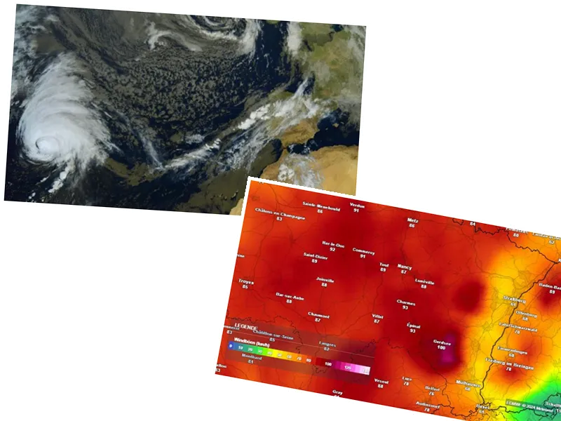
Hurricane Kirk to Impact France with Strong Winds and Rainfall
Hurricane Kirk, currently classified as a category 4 storm, is set to impact France between Wednesday and Thursday, transforming into a classic autumn storm as it approaches the French coast. According to La Chaîne Météo, the storm will bring significant rainfall and strong winds, with gusts reaching up to 130 km/h along the coast and 100 km/h inland. The Bay of Biscay may experience dangerous waves of 8 to 10 meters, posing threats to coastal safety.
The storm's trajectory remains uncertain, with the possibility of it veering towards Spain or the British Isles. La Chaîne Météo cautions that while predictions are being made, the reliability of these forecasts is still limited, and further updates will follow as the situation develops.
Additional Weather Disturbances from Tropical Storm Joyce
Before Hurricane Kirk arrives, France will also contend with the remnants of tropical storm Joyce, which will bring its own set of challenges. Starting Monday, Joyce is expected to cause significant rainfall across various regions, particularly in the North-West and southern areas of France. As the storm progresses, temperatures in the southwest could rise to around 25°C, influenced by the warm air drawn in from southern Europe and northern Africa.
As the week unfolds, the combination of Joyce's rainfall and Kirk's winds will create a highly disturbed weather pattern across the country. The National Hurricane Center warns that the transition of these systems from tropical to extratropical can still result in dangerous conditions, particularly with the expected gusts and heavy precipitation. Residents are advised to stay vigilant and prepare for potentially severe weather conditions.


