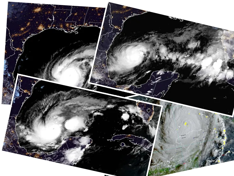
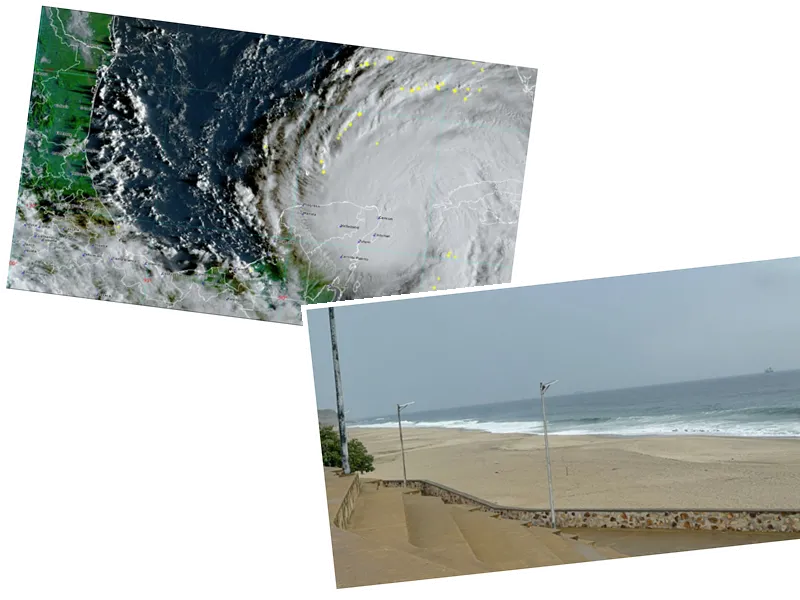
Hurricane John Approaches Mexico's Pacific Coast
Hurricane John is rapidly intensifying and is set to make landfall on the coasts of Oaxaca and Guerrero on Monday night. Currently classified as a Category 2 hurricane, the storm is expected to strengthen to a Category 3, according to the National Meteorological Service (SMN). The hurricane is projected to hit between 8:00 p.m. and 11:00 p.m., approximately 45 kilometers southeast of Punta Maldonado, a small town in Guerrero. This region, spanning less than 200 kilometers, will bear the brunt of the storm's impact.
President Andrés Manuel López Obrador has urged residents in the affected areas to take immediate precautions. In a message posted on social media, he emphasized the importance of seeking higher ground and prioritizing safety over material possessions. The president reassured the public that the government is closely monitoring the situation and is prepared to assist.
Devastating Rainfall and Winds Expected
The SMN has issued warnings of extraordinary rainfall exceeding 250 millimeters in Oaxaca and Guerrero, with torrential rains likely in Chiapas, and heavy rains anticipated in Veracruz and Puebla. The storm's wide circulation is expected to lead to significant weather impacts across central Mexico, including the Valley of Mexico. The U.S. National Hurricane Center has noted that John is likely to continue gaining strength before making landfall, after which its intensity will diminish but still pose a risk of widespread rainfall throughout the country.
The current situation is particularly concerning for Guerrero, which is still recovering from the devastating effects of Hurricane Otis in October 2023. Otis, which rapidly intensified to a Category 5 hurricane, caused approximately $15 billion in damages and significant loss of life. The arrival of Hurricane John has put local authorities on high alert, fearing a repeat of such catastrophic events.
Emergency Preparations and Warnings
In response to the impending hurricane, authorities have established prevention zones stretching from Acapulco to Bahías de Huatulco. The SMN has called for extreme caution regarding potential flooding, high winds, and rough seas, urging residents in Chiapas, Veracruz, Puebla, Tabasco, Michoacán, and Morelos to heed warnings from the National Civil Protection System. Wind gusts of up to 180 kilometers per hour and waves reaching seven meters are expected along the Oaxacan coast, while Guerrero is also bracing for severe weather.
As part of its emergency response, the Federal Electricity Commission (CFE) has deployed a significant number of personnel and equipment to ensure quick restoration of services post-storm. With forecasts predicting between 15 and 18 tropical cyclones in the Pacific this season, the government is actively preparing for the challenges ahead.


