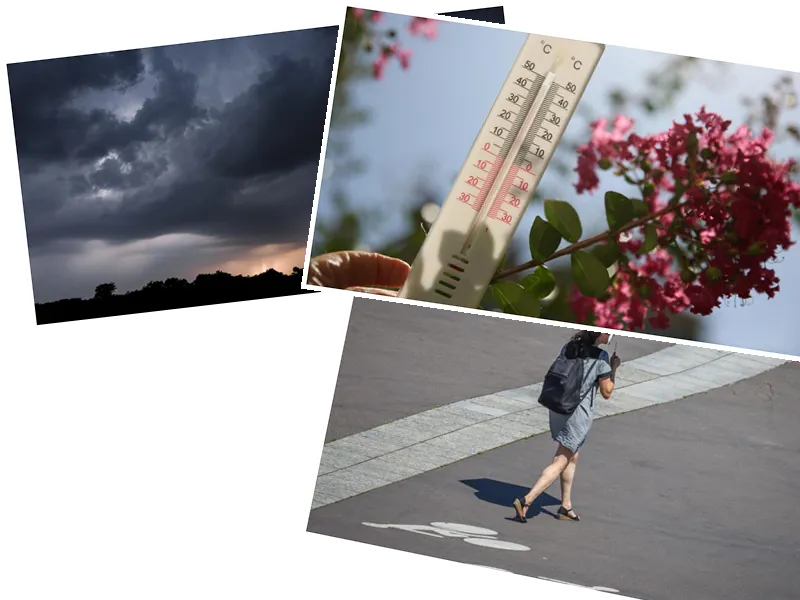
This week, France is experiencing a significant heatwave, with temperatures soaring across the country. On Wednesday, June 26, the heat intensifies further, reaching up to 34 degrees Celsius in the Garonne valley. The eastern regions are also affected by local but strong storms, adding to the heavy atmosphere.
The morning begins with clear skies and very mild temperatures, creating a tropical night for some cities. Brittany sees a few clouds, but they do not affect the sunshine. Around the Gulf of Lion, threatening clouds create a damp and unpleasant feeling as they move inland.
By the afternoon, temperatures climb even higher, surpassing those of Tuesday in many regions. The southwest, particularly the Garonne valley, approaches or reaches the very high heat threshold of over 35°C. The eastern regions experience heavy heat with localized, sometimes intense, thunderstorms that extend to Franche-Comté and Sundgau.
In the evening, thunderstorms persist between the Center-East and Mercantour before dissipating at dusk. Elsewhere, it remains mild or hot, with temperatures around 28°C in cities like Toulouse and Paris.
Looking ahead, the heat continues into Thursday, with temperatures often exceeding 30°C. However, the weather becomes increasingly muggy, with a growing risk of thunderstorms. This trend will lead to a drop in temperatures over the weekend as the rain returns.
Earlier in the week, the weather was characterized by dry and hot conditions. Monday saw sunny skies and rising temperatures due to an anticyclone. Tuesday was considered the most beautiful day of the week, with summery temperatures ranging from 25 to 30°C across the country, even reaching 29°C in Paris.
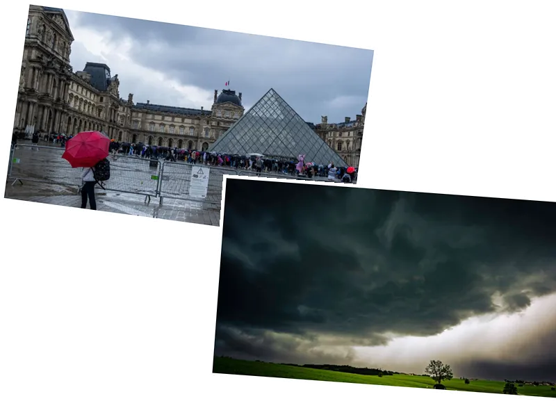
By Wednesday, the weather remained warm and sunny, with temperatures around 30°C in the Paris basin. However, thunderstorms began to signal a change. Thursday marked the return of rain, particularly in the Center and south of the West Coast, with the potential for strong storms.
The weather continued to deteriorate on Friday, with an active system crossing the country from West to East, bringing a drop in temperatures, especially in the northern half. The weekend forecast remains mixed, with cooler temperatures and difficult-to-predict weather, except for the South-East, which may experience milder conditions.
- The current heatwave is a result of a high-pressure system that has been dominating the weather pattern over France. This system has led to clear skies and rising temperatures, creating ideal conditions for a heatwave.
- The thunderstorms occurring in the eastern regions are due to the interaction between the hot, humid air and cooler air masses moving in from the north. This interaction creates instability in the atmosphere, leading to the development of thunderstorms.
- As the weekend approaches, the arrival of a new cold front is expected to bring significant changes to the weather. This front will introduce cooler air and increase the likelihood of rain and storms, particularly in the northern regions.
- The French Meteorological Service (Météo France) advises residents to stay hydrated, avoid strenuous activities during peak heat hours, and stay informed about weather updates, especially in regions prone to thunderstorms.


