Earthquake Jolts Lourdes Region With 4.7 Magnitude, No Major Damage Reported
An earthquake measuring 4.7 on the Richter scale struck the Lourdes region in Hautes-Pyrénées at 11:30 a.m. on Tuesday, May 21, prompting the evacuation of several schools. The epicenter was located near Bagnères-de-Bigorre, approximately 20 kilometers south of Tarbes, according to the French Central Seismological Bureau (BCSF). While the magnitude makes this a notable event, the region has a history of frequent seismic activity.
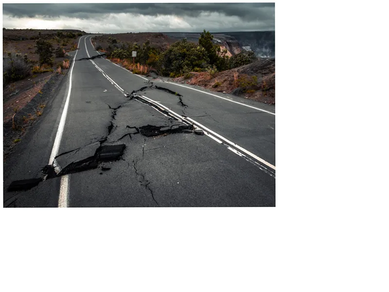
The quake led to the evacuation of students from Bagnères-de-Bigorre College and Sarsan High School. They were able to return to classes after authorities found no significant damage to the buildings. Luz-Saint-Sauveur College also evacuated its students when a crack appeared in one of the administrative buildings, officials from the Hautes-Pyrénées prefecture confirmed. The premises were inspected by the Hautes-Pyrénées departmental fire and rescue service, which closely monitored the situation.
Reports of the earthquake varied among seismological organizations. The BCSF registered a magnitude 4 earthquake at 11:23 a.m., while the Euro-Mediterranean Seismological Center reported a 4.2 magnitude. Depth estimates hovered around ten kilometers, and a dull noise accompanied the tremors, as noted by La Dépêche du Midi.
Authorities continue to warn residents about the potential risk of aftershocks and have advised people to exit buildings carefully, avoiding elevators. On social media, residents shared their experiences of the ground shaking and the loud noise that followed. Despite the initial panic, no severe damage or injuries were reported. The regional daily highlighted the Pyrenees as an area with robust seismic activity, experiencing several hundred minor tremors each year.
This seismic event in Lourdes followed close on the heels of a 4.4 magnitude earthquake in Italy's Naples region on Monday evening, the most powerful quake there in 40 years. While numerous aftershocks were reported, there were no casualties.
- The Hautes-Pyrénées prefecture consistently updates residents in the region on seismic activities to ensure safety and preparedness. Regular drills and educational initiatives aim to help communities better understand how to respond to earthquakes.
- The earthquake's epicenter was precisely located 7 km northwest of Bagnères-de-Bigorre, 8 km northwest of Gerde, and 10 km south of Barbazan-Debat, as analyzed by the Department of Military Applications (DASE) of the CEA research organization. This detailed geographical data helps in precise monitoring and future readiness.
- The ongoing surveillance by multiple seismological institutes highlights the importance of real-time data sharing and collaboration in mitigating the risks associated with earthquakes. These scientific efforts are crucial in regions like the Pyrenees, where seismic activities are frequent but often unpredictable.